So, it looks like our decision to head north/east earlier in the week finally has us in position to catch something of interest.
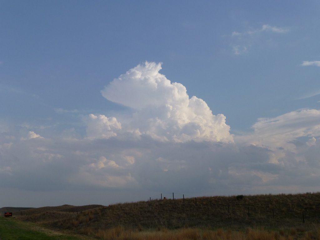
The SPC have put a slight risk box just to our Northwest (my first ever slight risk by the way!). We’ve made the decision to head west again to put ourself on the eastern side of this area. The models are showing some decent instability and shear, especially later on. It looks like any storms that will fire will move up from the south-west into central South Dakota over the course of the evening, so we are setting up in Merriman today, which will allow us to head north up to the I90 if/when required.
Tornado risk looks quite slight, but we should be able to see some supercells, with some strong winds and large hail, though we’re going to try and keep out of any messy hail cores.
Now just to keep a lookout for any firing storms as the afternoon progresses!

On the edge